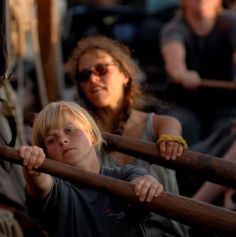
Rowing
Here, we will analyse The Sea Stallion’s abilities when propelled by oar power alone. Download, unzip and open the navigation data from the voyage. Find data from a rowing stage and answer the following questions:
- How quickly can the ship be propelled forwards by oar power?
- What is the influence of wind direction and wind speed?
- How long can the oarsmen maintain a high speed, for example during an attack?
Search in the crew’s logbooks and diaries and answer the following:
- What influence has the number of oarsmen for the effectiveness?
- What is the consequence of the mast being raised or lowered?
A series of exercises has been produced which aim to analyse The Sea Stallion’s handling abilities under sail and oar power respectively. In other words, the pupil is able to carry out him- or herself much of the research which the Viking Ship Museum is to embark upon after the voyage to Dublin. The exercises are best tackled in the order shown, and it is a good idea to present the results together in a final report.
The data set to be processed comprises the ship’s geographic co-ordinates (recorded with the aid of a GPS) as well as a series of other navigational and meteorological measurements. All of this is assembled in a zipped, semicolon separated text file Datalogger which can be downloaded from Tools in the right hand column of the exercise. This table can be used as the basis for a large number of exercises involving data validation, source criticism, searching and sorting, calculations and column updates and much more. The exercises are best executed with the aid of a spreadsheet and/or GIS and can be incorporated in a wider teaching context dealing with, for example, the GPS system, statistics and cartography.
Rowing deals similarly with searching or sorting the data and leads up to putting this into perspective with the aid of information searches on the rest of the site.
Subjects: Maths, physics, geography, general study.
Level: Sixth form/A level.
Read more
Tools
- Datalogger 14.zip
- Navigation data Roskilde-Dublin