Sailing in the Limfjord
The two parts of the isthmus separating the Limfjord from the North sea are called, respectively, Agger Tange and Harboøre Tange. Today, the isthmus is open to navigation, but long periods during the past, however, it was closed off. The passage was open at the time of the great Viking expeditions to the British Isles. Further East, near the ring fort, Aggersborg, the vikings probably had to haul their ships over to reach the open sea.
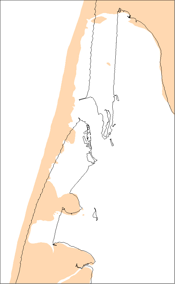
Fact: The Limfjord is not really a fjord but rather a sound - open at both ends. The western opening in Thyborøn Kanal appeared following a series of storm surges in the years 1825-62 and has since then been maintained by dredging. Before that time the fjord was an actual fjord – even though there are reports of breaches due to storm surges several times during the 16th and 17th centuries.
Written sources recount that the Viking fleet gathered in the Limfjord before embarking on expeditions to England and that Cnut the Great, on his way home from England, sailed from the west into the Limfjord?
But how does this add up? Was there a passage open towards the west just like today? And how is it possible to prove it – a thousand years after?
Agger Tange was formed of huge sand masses displaced along the coast by the tidal current. The west coast of Jutland will always seek equilibrium by smoothing out the openings at the mouths of the inner waters. Breaches occur in connection with sudden, dramatic weather conditions including storms and high water levels – storm surges. When a breach becomes established, as in 1825, there are far-reaching consequences for the ecological balance of the fjord because the salt content of the water rises dramatically. This may mean extinction for some animal species, while others seek migrate into the previously fresh waters.
Today, when demonstrating the openings and closings of the Limfjord, animal species are therefore used to ascertain whether the water in the fjord was fresh or salty. In practice, this involves of course those animal species which leave evidence when they die, i.e. their shells. Using core samples, the number of shells incorporated into the individual sand layers is counted and the layers are radiocarbon dated. In this way it is possible to determine whether a layer of a given age was created in fresh or salt water. Using this method is has been established that the passage was open until about 2500 years ago, then closed for almost 200 years. The strait then opened up again for a period of time until about AD 1100.
The historical evidence confirme that the passage was open in AD 1026-27 and again in 1085, when Cnut the Holy gathered his ships off Vestervig in advance of a planned attack on England. By year AD 1200, the historians Saxo and Sven Aggesen reported that the fjord was closed towards the west, but it is evident that they knew of it having been open previously. Another possible consequence of the sanding up around AD 1100 is the moving of the Episcopal residence from Vestervig to Børglum in 1135: The western part of the Limfjord, which was earlier a main transport junction of great royal and ecclesiastical significance, then became a trading station with few prospects for trade and communication.
Sløjkanalen
The place name itself, Sløjkanalen or Sløjen, is thought to originate from the word "Slod", which means something along the lines of a thoroughfare – a place where something is hauled or dragged.
The Icelandic saga author Snorri Sturlasson writes that Harald Hardrada, during his military campaigns in Denmark in AD 1061, fled from Svein Estridson into the Limfjord. At the broadest extent of the fjord he succeeded, under the cover of darkness, in unloading his ships and pulling them over land and out to the open sea. On the earliest reliable map we have available, from the end of the 18th century, there is rather more than 4 km of land with high dunes between Løgstør Bredning and the Skagerrak. But is it possible that passage was easier in Viking times? Analyses of mollusc shells in the sand layers, dated with the aid of the radiocarbon method, indicate that there was a connection to the open sea up until just after the birth of Christ: the layers formed at this time, contain species which require water of a greater salinity. At the end of the 18th century there was about 4 km to the sea from the head of Sløjen. Furthermore, the wreck of a stranded cog, a medieval cargo ship dated to about AD 1150, has been found far in land at Kollerup.
Mikkel H. Thomsen